DETAILED
BOTANICAL MAPPING OF HEATH LANDS IN DENMARK
A detailed mapping was preformed for Danish heath lands. The
mapping was preformed by the use of Landsat TM data and contained a detali that
dissolved Natura 2000 habitats down to 5' level of CORINE. The botanical mapping
further separated natural heath land comunities from areas which most likely
have been manured over time and have transformed the natural heath plant
communities into grass land.
The analysis has implication for
management of the Danish heath lands - both in terms of mapping plant comunities,
conservation status and for understanding and management of heath species. The
mapping has further implication for detailed botanical mapping of the remaining
Danish heath areas.
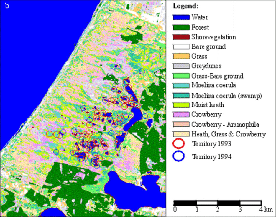
Hanstholm reserve - a Natura 2000 SPA/SAC and part of the first Danish National
park. The mapping dissolve the heath land cover down to CORINE '4 and '5 level.
The mapping was carried out in
connetion with
analysis of bird habitats for heath lands, the project was
conducted for
EU. DG. XII. - Danish Forest and Nature Agency- 1994-5.
Client:
-
EU. DG. XII 1994-5
- The Danish Forest and Nature Agency.
privacy@prins engineering.com