OUR
SERVICE PORTFOLIO

PRINS
has more than 26 yr experience with digital Earth Observation
/ GIS. We are front runner in
a number of issues:
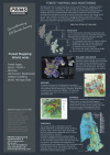
Mapping
of forest
types,
biodiversity,
habitats,
biomass,
degradation and
conservation planning, In recent years we
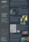
have invested a lot of resources
in developing SRS applications using machine-learning algorithms
and Essential Biodiversity Variables.
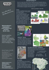
We
have furthermore developed groundbreaking applications for other areas such as
human abuses, EIA etc. Look at the project portfolio below.